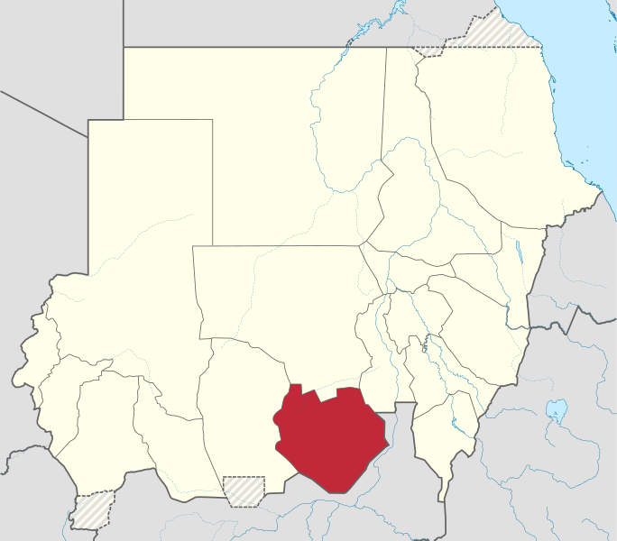
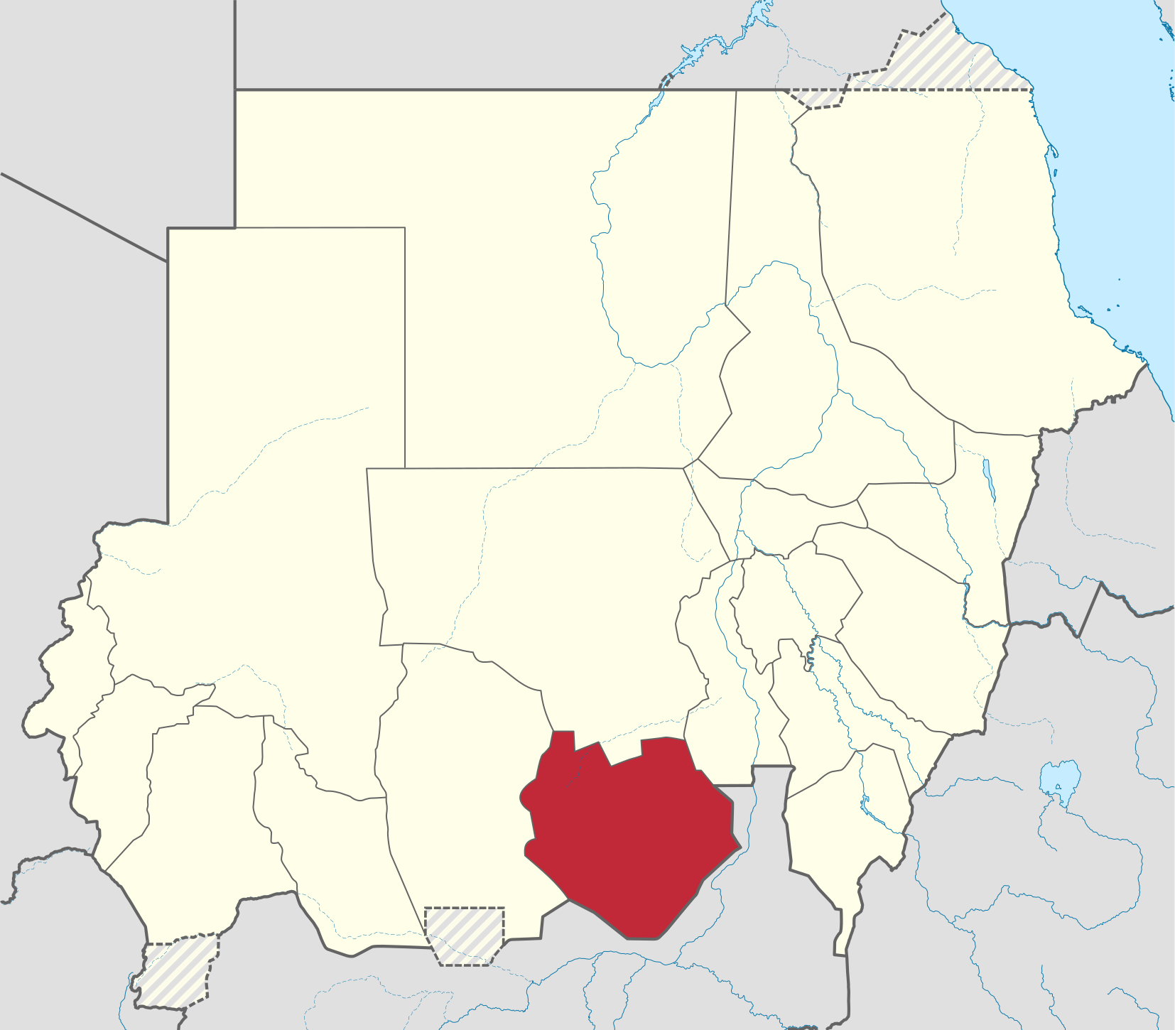
Usòrò:South Kurdufan in Sudan (Kafia Kingi disputed).svg

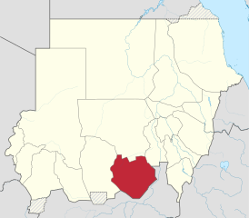
Size of this PNG preview of this SVG file: 684 × 600 piksels. Ndị ọzọ mkpebi:274 × 240 piksels | 548 × 480 piksels | 876 × 768 piksels | 1,168 × 1,024 piksels | 2,336 × 2,048 piksels | 1,654 × 1,450 piksels.
Failụ si na nke mbu (usòrò SVG, nà áhà pixel 1,654 × 1,450, ívụ usòrò: 353 KB)
Mmẹkụwátá
.svg)
.svg)
.svg)
.svg)
.svg)
.svg)
.svg)

-en.svg)

.svg)
.svg)
.svg)

_(US48).svg)
_(small_islands_magnified)_(-mini_map_-rivers).svg)
.svg)
_(extra_close)_(US48).svg)
.svg)
_(zoom).svg)

.svg)


_(UNMIK).svg)
.svg)
_(disputed_hatched).svg)
_(claimed_and_disputed_hatched).svg)
.svg)
.svg)
_(%2Ball_claims_hatched).svg)

.svg)
_(shade).svg)
_(shade)_(special_marker).svg)
_(-mini_map).svg)
_(-mini_map).svg)
_(-mini_map).svg)


.svg)

.svg)
.svg)
Nkwényé
I, the copyright holder of this work, hereby publish it under the following license:
Edebere faịlụ a n'okpuru ikikeree Creative Commons Attribution-Share Alike 3.0 Unported license.
- I wepulara nóru:
- i nye – ikọpị,ikekasi na izịpụ ọru a
- i dowaria – igbanwee ọrụ a
- Ọ ga bụ na ọnọdụ ndi a:
- í-kpó-áhà – Ị ga-enyerịrị ugo kwesịrị ekwesị, nye njikọ na ikikere ahụ, ma gosikwa ma emere mgbanwe. Ị nwere ike ime ya n'ụzọ ezi uche ọ bụla, mana ọ bụghị n'ụzọ ọ bụla na-egosi na onye nyere ikikere kwadoro gị maọbụ ojiji gị.
- gbásàa kà – Ọ bụrụ na ị tụgharịgharịa, gbanwee, ma ọ bụ wulite n'elu ihe ahụ, ị ga-ekesa ndenye gị n'okpuru otu ma ọ bụ ikike dakọtara dị ka nke mbụ.

|
I'd greatly appreciate, that you attribute this media file to Wikimedia Commons, if used outside Wikipedia or Commons. For use in publications such as books, newspapers, blogs, websites, please insert here the following line:
|
.svg&action=edit&redlink=1)
Ịta nke usòrò
Bìri èhì/ogè k'ị hụ òtù ụ̀fa dị̀ m̀gbè ahụ̀.
| Èhì/Ogè | Mbọ-aka | Ógólógó na asaá | Òjìème | Nkwute | |
|---|---|---|---|---|---|
| dị ùgbu â | 05:33, 28 Jụn 2017 | | 1,654 × 1,450 (353 KB) | SUM1 | Reverted to version as of 17:30, 4 October 2014 (UTC) |
| 18:12, 4 Ọktoba 2014 |  | 1,654 × 1,450 (345 KB) | TUBS | Rv. Maybe you are right. But plz correct File:Sudan location map.svg before. The locator map only mirrorrs borders of the location map | |
| 17:30, 4 Ọktoba 2014 |  | 1,654 × 1,450 (353 KB) | Leftcry | Reverted to version as of 23:42, 17 September 2013 | |
| 21:42, 18 Septemba 2013 |  | 1,654 × 1,450 (345 KB) | TUBS | Reverted to version as of 21:55, 28 January 2013 plz correct location map before and provide sources | |
| 23:42, 17 Septemba 2013 |  | 1,654 × 1,450 (353 KB) | Spesh531 | west kurdufan reformed | |
| 21:55, 28 Jenụwarị 2013 |  | 1,654 × 1,450 (345 KB) | TUBS | ||
| 16:36, 23 Novemba 2011 |  | 1,654 × 1,450 (685 KB) | TUBS |
Ojiji faịlụ
Ihe ndị na-eso ihe eji Ihu akwụkwọ eme na faịlụ a:
Ejiji failụ zụrụ ọha
Wikis ndi a edeputara na eji kwa failụ a:
- Ihe eji na ar.wikipedia.org
- Ihe eji na arz.wikipedia.org
- Ihe eji na azb.wikipedia.org
- Ihe eji na bg.wikipedia.org
- Ihe eji na bn.wikipedia.org
- Ihe eji na ca.wikipedia.org
- Ihe eji na cs.wikipedia.org
- Ihe eji na din.wikipedia.org
- Ihe eji na en.wikipedia.org
- Ihe eji na eo.wikipedia.org
- Ihe eji na es.wikipedia.org
- Ihe eji na fa.wikipedia.org
- Ihe eji na fi.wikipedia.org
- Ihe eji na frr.wikipedia.org
- Ihe eji na fr.wikipedia.org
- Ihe eji na ha.wikipedia.org
- Ihe eji na he.wikipedia.org
- Ihe eji na hu.wikipedia.org
- Ihe eji na hy.wikipedia.org
- Ihe eji na io.wikipedia.org
- Ihe eji na ja.wikipedia.org
- Ihe eji na ka.wikipedia.org
- Ihe eji na ko.wikipedia.org
- Ihe eji na lv.wikipedia.org
- Ihe eji na nl.wikipedia.org
- Ihe eji na pl.wikipedia.org
- Ihe eji na pl.wikivoyage.org
- Ihe eji na pnb.wikipedia.org
- Ihe eji na pt.wikipedia.org
- Ihe eji na ro.wikipedia.org
- Ihe eji na ru.wikipedia.org
- Ihe eji na sh.wikipedia.org
- Ihe eji na sr.wikipedia.org
- Ihe eji na sv.wikipedia.org
- Ihe eji na sw.wikipedia.org
- Ihe eji na ts.wikipedia.org
- Ihe eji na uk.wikipedia.org
- Ihe eji na ur.wikipedia.org
- Ihe eji na vi.wikipedia.org
- Ihe eji na www.wikidata.org
Lee more global usage of this file.
.svg)
.svg)