Usòrò:Intercropping coconut n Tagetes erecta.jpg
Otu nyochaa a ha:800 × 532 piksels Ndị ọzọ mkpebi:320 × 213 piksels | 640 × 426 piksels | 1,024 × 682 piksels | 1,280 × 852 piksels | 2,048 × 1,363 piksels.
Failụ si na nke mbu (2,048 × 1,363 pixel, ívù akwukwo orunótu: 3.32 MB, MIME nke: image/jpeg)
Mmẹkụwátá
| Nkówá |
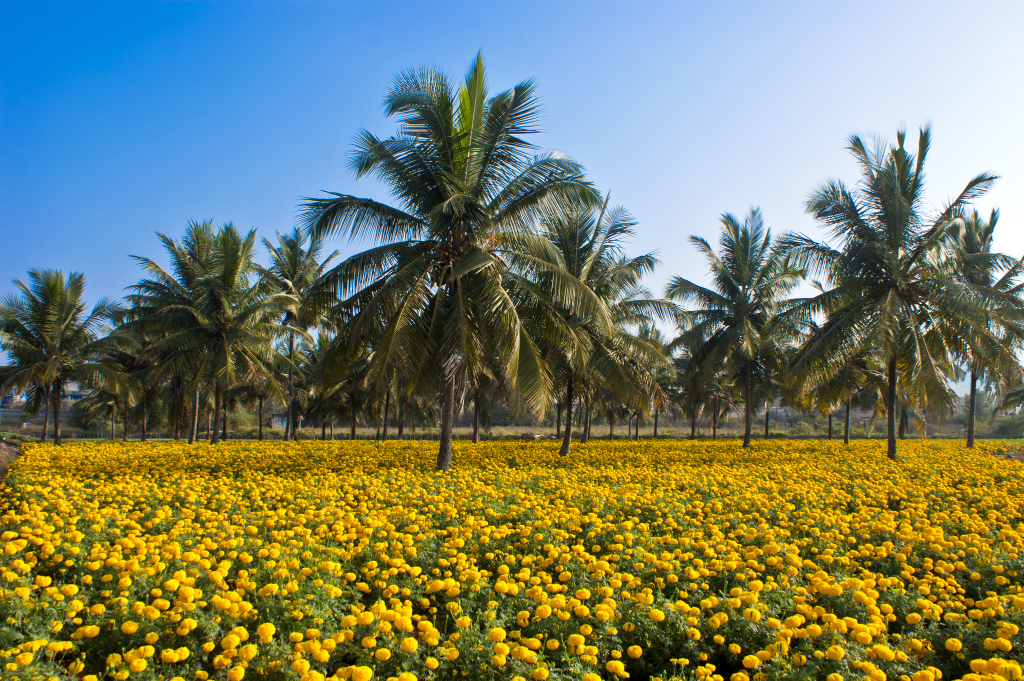
English: Intercropping coconut and Tagetes erecta flowers in Kerala, India. |
| Ǹgụ́ụ̀bọ̀chị̀ | |
| Mkpọlọ́gwụ̀ | Orü ọnwé |
| Odé ákwụ́kwọ́ | Ezhuttukari |
| Camera location | | View this and other nearby images on: OpenStreetMap |
|---|
Nkwényé
I, the copyright holder of this work, hereby publish it under the following license:
Edebere faịlụ a n'okpuru ikikeree Creative Commons Attribution-Share Alike 3.0 Unported license.
- I wepulara nóru:
- i nye – ikọpị,ikekasi na izịpụ ọru a
- i dowaria – igbanwee ọrụ a
- Ọ ga bụ na ọnọdụ ndi a:
- í-kpó-áhà – Ị ga-enyerịrị ugo kwesịrị ekwesị, nye njikọ na ikikere ahụ, ma gosikwa ma emere mgbanwe. Ị nwere ike ime ya n'ụzọ ezi uche ọ bụla, mana ọ bụghị n'ụzọ ọ bụla na-egosi na onye nyere ikikere kwadoro gị maọbụ ojiji gị.
- gbásàa kà – Ọ bụrụ na ị tụgharịgharịa, gbanwee, ma ọ bụ wulite n'elu ihe ahụ, ị ga-ekesa ndenye gị n'okpuru otu ma ọ bụ ikike dakọtara dị ka nke mbụ.
Assessment
|
This image was selected as picture of the day on Vietnamese Wikipedia.
|
This media file is uploaded with Malayalam loves Wikimedia event - 2.
|
Ịta nke usòrò
Bìri èhì/ogè k'ị hụ òtù ụ̀fa dị̀ m̀gbè ahụ̀.
| Èhì/Ogè | Mbọ-aka | Ógólógó na asaá | Òjìème | Nkwute | |
|---|---|---|---|---|---|
| dị ùgbu â | 04:27, 18 Febụwarị 2012 | | 2,048 × 1,363 (3.32 MB) | Ezhuttukari |
Ojiji faịlụ
Ihe ndị na-eso ihe eji Ihu akwụkwọ eme na faịlụ a:
Ejiji failụ zụrụ ọha
Wikis ndi a edeputara na eji kwa failụ a:
- Ihe eji na ar.wikipedia.org
- Ihe eji na bn.wikipedia.org
- Ihe eji na ca.wikipedia.org
- Ihe eji na cs.wikipedia.org
- Ihe eji na en.wikipedia.org
- Ihe eji na es.wikipedia.org
- Ihe eji na et.wikipedia.org
- Ihe eji na id.wikipedia.org
- Ihe eji na kn.wikipedia.org
- Ihe eji na ml.wikipedia.org
- Ihe eji na ms.wikipedia.org
- Ihe eji na pt.wikipedia.org
- Ihe eji na simple.wikipedia.org
- Ihe eji na ta.wikipedia.org
- Ihe eji na ug.wikipedia.org
- Ihe eji na uk.wikipedia.org
- Ihe eji na ur.wikipedia.org
- Ihe eji na vi.wikipedia.org
- Ihe eji na zh.wikipedia.org