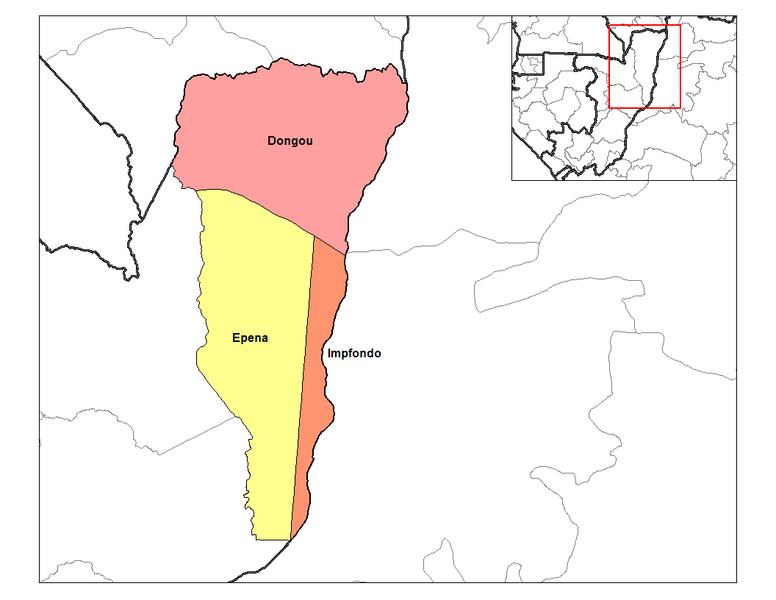
Faịlụ:Likouala districts.png

Otu nyochaa a ha:776 × 600 piksels Ndị ọzọ mkpebi:311 × 240 piksels | 621 × 480 piksels | 994 × 768 piksels | 1,056 × 816 piksels.
Failụ si na nke mbu (1,056 × 816 pixel, ívù akwukwo orunótu: 26 KB, MIME nke: image/png)
Ịta nke usòrò
Bìri èhì/ogè k'ị hụ òtù ụ̀fa dị̀ m̀gbè ahụ̀.
| Èhì/Ogè | Mbọ-aka | Ógólógó na asaá | Òjìème | Nkwute | |
|---|---|---|---|---|---|
| dị ùgbu â | 14:42, 29 Jenụwarị 2012 |  | 1,056 × 816 (26 KB) | BotMultichillT | {{BotMoveToCommons|en.wikipedia|year={{subst:CURRENTYEAR}}|month={{subst:CURRENTMONTHNAME}}|day={{subst:CURRENTDAY}}}} == {{int:filedesc}} == {{Information |description={{en|1=Map of the districts of Likouala region in the Republic of the Congo. Created |
Ojiji faịlụ
Ihe ndị na-eso ihe eji Ihu akwụkwọ eme na faịlụ a:
Ejiji failụ zụrụ ọha
Wikis ndi a edeputara na eji kwa failụ a:
- Ihe eji na en.wikipedia.org
- Ihe eji na ha.wikipedia.org
- Ihe eji na ru.wikipedia.org
- Ihe eji na sw.wikipedia.org
- Ihe eji na tr.wikipedia.org
- Ihe eji na ts.wikipedia.org