Usòrò:Enugu satellite map.jpg
Otu nyochaa a ha:800 × 598 piksels Ndị ọzọ mkpebi:320 × 239 piksels | 640 × 478 piksels | 1,024 × 765 piksels | 1,280 × 956 piksels.
Failụ si na nke mbu (1,280 × 956 pixel, ívù akwukwo orunótu: 209 KB, MIME nke: image/jpeg)
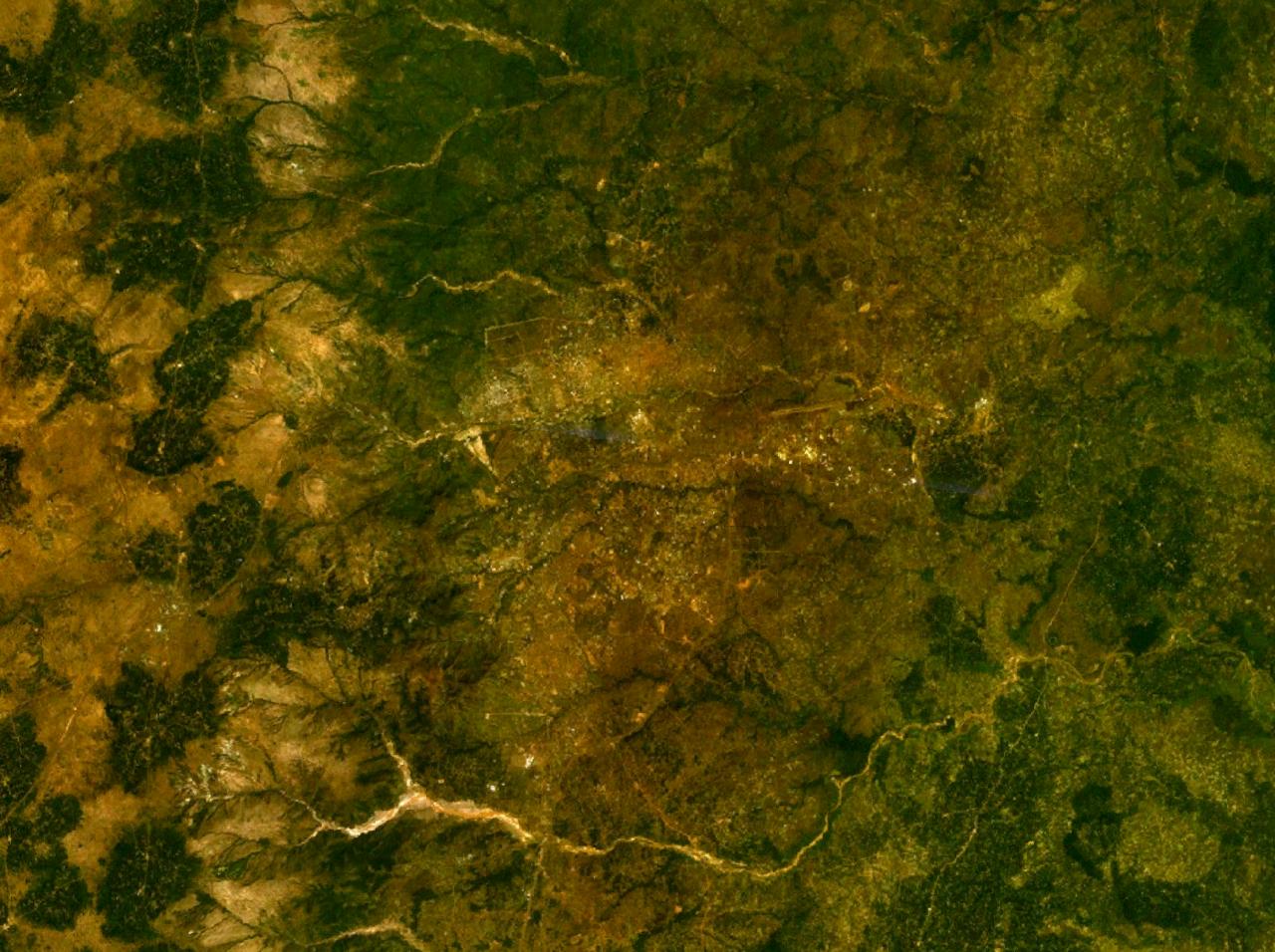
| Nkówá | Satellite map of Enugu, Nigeria | |||
| Ǹgụ́ụ̀bọ̀chị̀ | ||||
| Mkpọlọ́gwụ̀ | NASA World Wind | |||
| Odé ákwụ́kwọ́ | NASA | |||
| Ọdà (Í jí kwá usòrò nke) |
|

Ịta nke usòrò
Bìri èhì/ogè k'ị hụ òtù ụ̀fa dị̀ m̀gbè ahụ̀.
| Èhì/Ogè | Mbọ-aka | Ógólógó na asaá | Òjìème | Nkwute | |
|---|---|---|---|---|---|
| dị ùgbu â | 19:08, 8 Eprel 2007 | | 1,280 × 956 (209 KB) | Bohr~commonswiki | {{Information |Description=Satellite map of Enugu, Nigeria |Source=NASA World Wind |Date=April 8, 2007 |Author=NASA |Permission={{PD-WorldWind}} |other_versions= }} Category:Maps of Nigeria |
Ojiji faịlụ
Ihe ndị na-eso ihe eji Ihu akwụkwọ eme na faịlụ a:
Ejiji failụ zụrụ ọha
Wikis ndi a edeputara na eji kwa failụ a:
- Ihe eji na ca.wikipedia.org
- Ihe eji na en.wikipedia.org